// Home / Geography / Petelea - other geographical information  ::deutsch::  ::English::  ::română:: 


Petelea - Geographical Information | Romanian Map

Latitude 46.7333 Longitude 24.7167 Altitude (feet) 1430
Lat (DMS) 46° 43' 60N Long (DMS) 24° 43' 0E Altitude (meters) 435
Google links for Petelea Google links for Petelea, Romania
FAST/Alltheweb images for Petelea FAST/Alltheweb images for Petelea, Romania
Detailed map of Petelea (may take a few seconds).
82.2 nm east and west of Petelea. Mercator projection.
Switch to "illuminated" maps, which may take a while to create..
4.0X In 2.0X In 1.4X In 1.4X Out 2.0X Out 4.0X Out
Mid-range map of Petelea Large range map of Petelea

Places near Petelea

Heading Distance Name
0.0° 2.0 nm Iernuțeni
45.7° 2.9 nm Solovăstru
126.1° 3.4 nm Habic
155.4° 3.3 nm Fînațe
155.4° 3.3 nm Petrilaca de Mureș
155.4° 3.3 nm Petrilaca de Mureș, Comuna
155.4° 3.3 nm Stejeriș
214.5° 3.6 nm Periș
325.6° 1.2 nm Apalina
Last updated on:
October 11, 2013

 News :: Mai 13, 2008
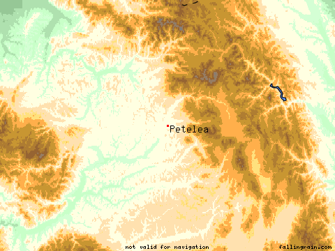
Since today, Petelea has its own domain: www.petelea.info.
The new e-mail address is : info@petelea.info
  News :: July 8, 2006
The Guestbook of Petelea is available again.
  News :: May 14, 2004
Maintenance release: removed broken links and added new ones; corrected text inaccuracies.
  News :: August 20, 2003
Well..., the web site of Petelea village has reached the point where no major enhancements can be done without the help of its readers. Read how you might help the future expansion of this site.
 Previous news:
Contact

Search for inside the Petelea village website

Click for Tirgu Mures, Romania Forecast

v0.36 ©(GPL) 2002-2013 Birk/Petele/Petelea